At six in the morning the boats are already coming in. They are basket boats, thúng, round and woven and absurd-looking until you see one handled, and they go out at about two in the morning and are back by seven. What comes off them is squid, shrimp, small fish, and the thing this stretch is known for, ghẹ xanh, the blue swimming crab. It is sold at the market along the coastal road between four and eight, and if you buy it there someone will cook it for you on the spot.
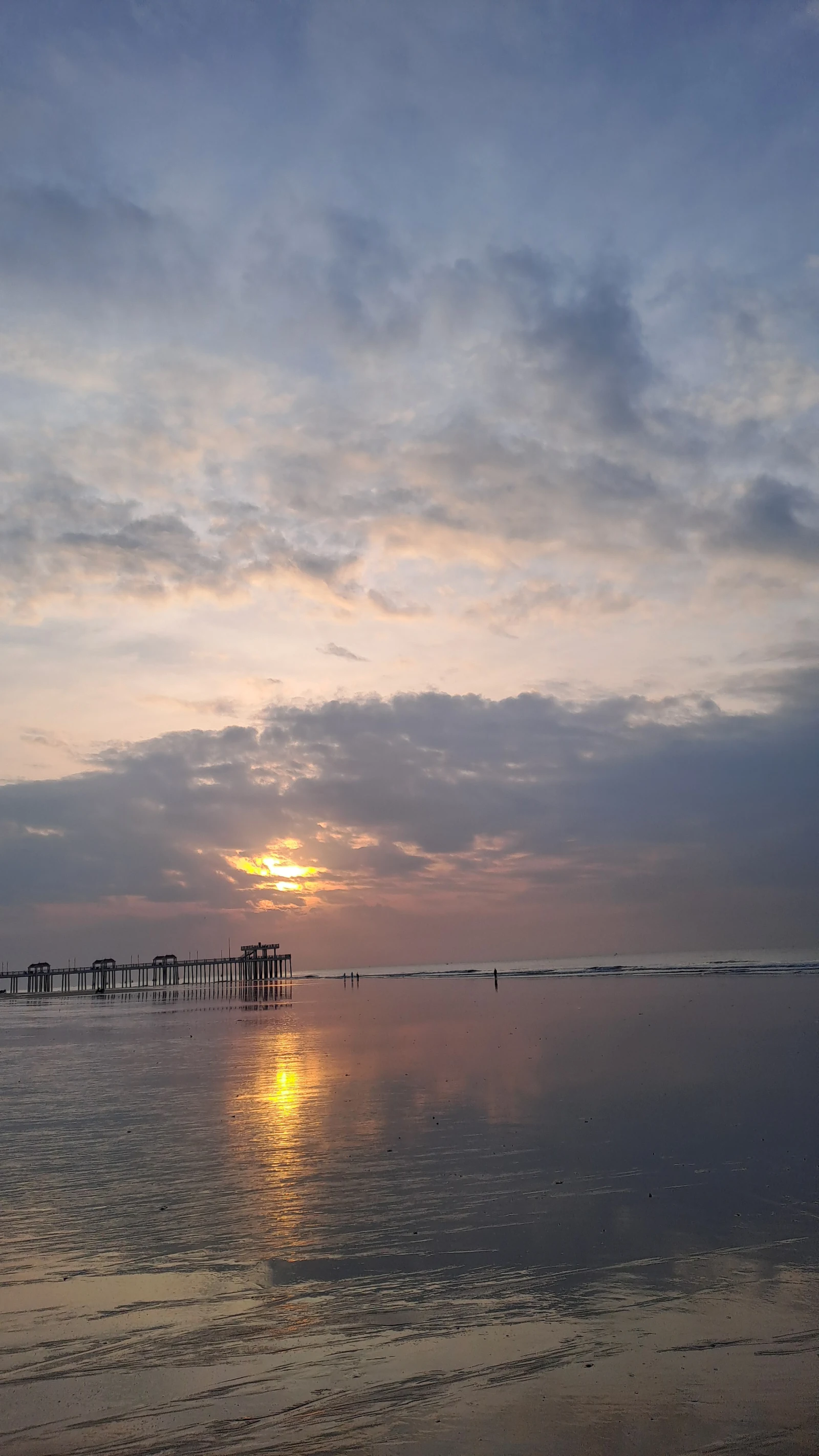
This is Hồ Tràm, on the south-east coast, a couple of hours from Ho Chi Minh City. Since 1 July 2025 it has technically been part of Ho Chi Minh City, following the administrative merger that folded Bà Rịa–Vũng Tàu province into the enlarged city. On a map it is now a commune of a megacity. On the ground it is a fishing village with a very long beach.
The beach is mostly horizontal
That is the first thing you notice and the hardest thing to photograph. At low tide the water withdraws a long way across a shallow gradient and leaves a wide, ribbed, mirror-flat expanse with things stranded in it.
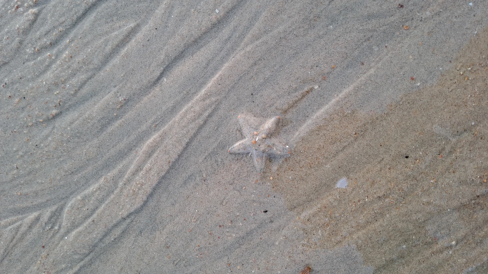
It is a good beach for walking and a complicated one for swimming, which is worth saying plainly rather than at the bottom of the page.
The weather is at its best and the water at its worst in the same months. Both belong in the same sentence.
Vietnamese authorities name this stretch among the beaches where the north-east monsoon, roughly December to March, cuts rip currents that can run hundreds of metres offshore and reach two metres deep. That is also the dry season, and the reason people come in winter. Lifeguard cover is thin away from managed beaches, and a black flag means do not go in.
What is behind the dunes
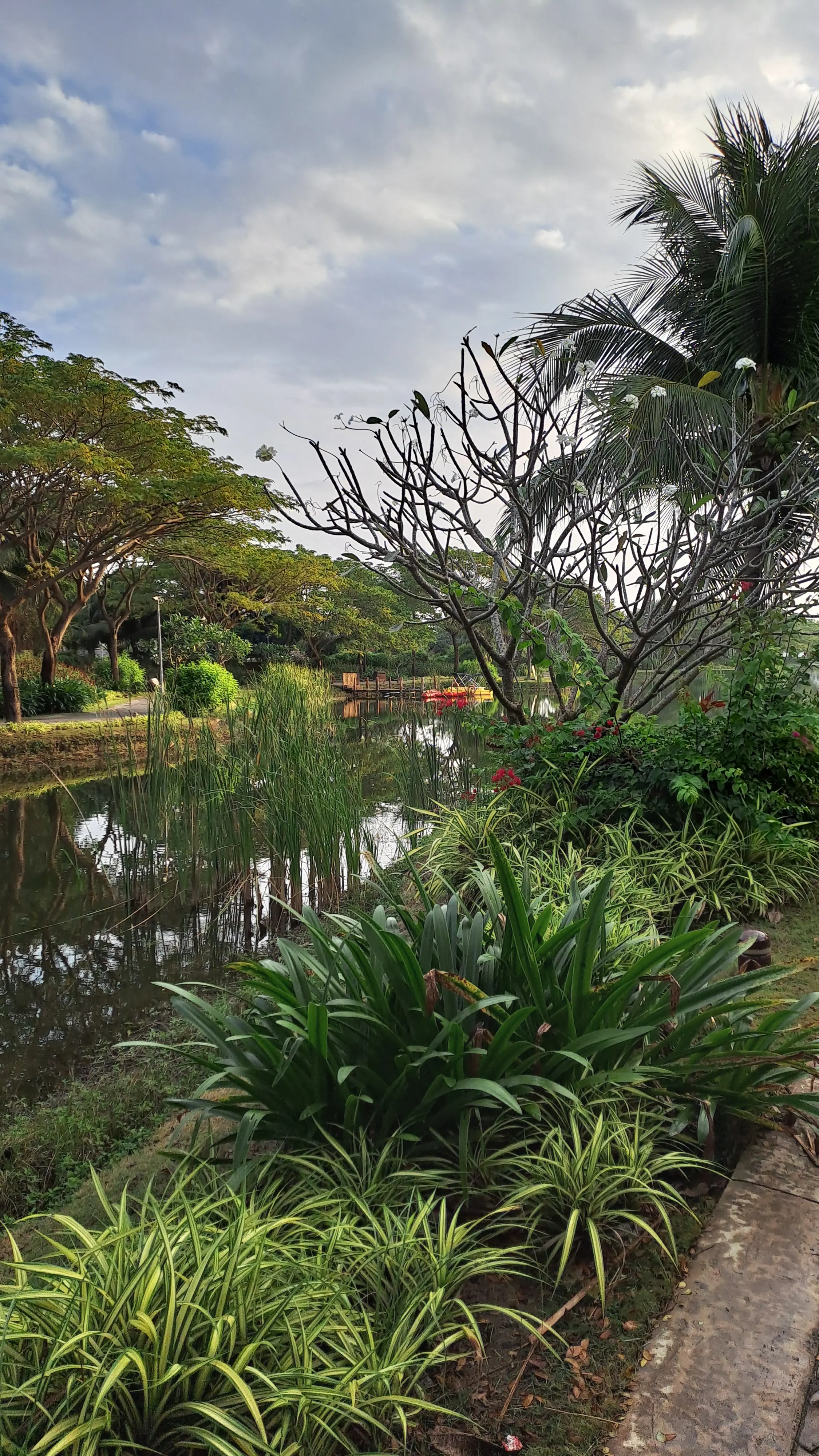
The Bình Châu–Phước Bửu nature reserve, protected since the 1970s and described as the only relatively intact lowland coastal forest left in Vietnam. Sources disagree about its size, somewhere between 10,500 and 11,300 hectares, and about how many species are in it, so take the figures as a range rather than a fact.
Inland from that are the Bình Châu hot springs, about thirty-three hectares of mineral water hot enough to boil an egg in, which people do.
The part that has to be in the story
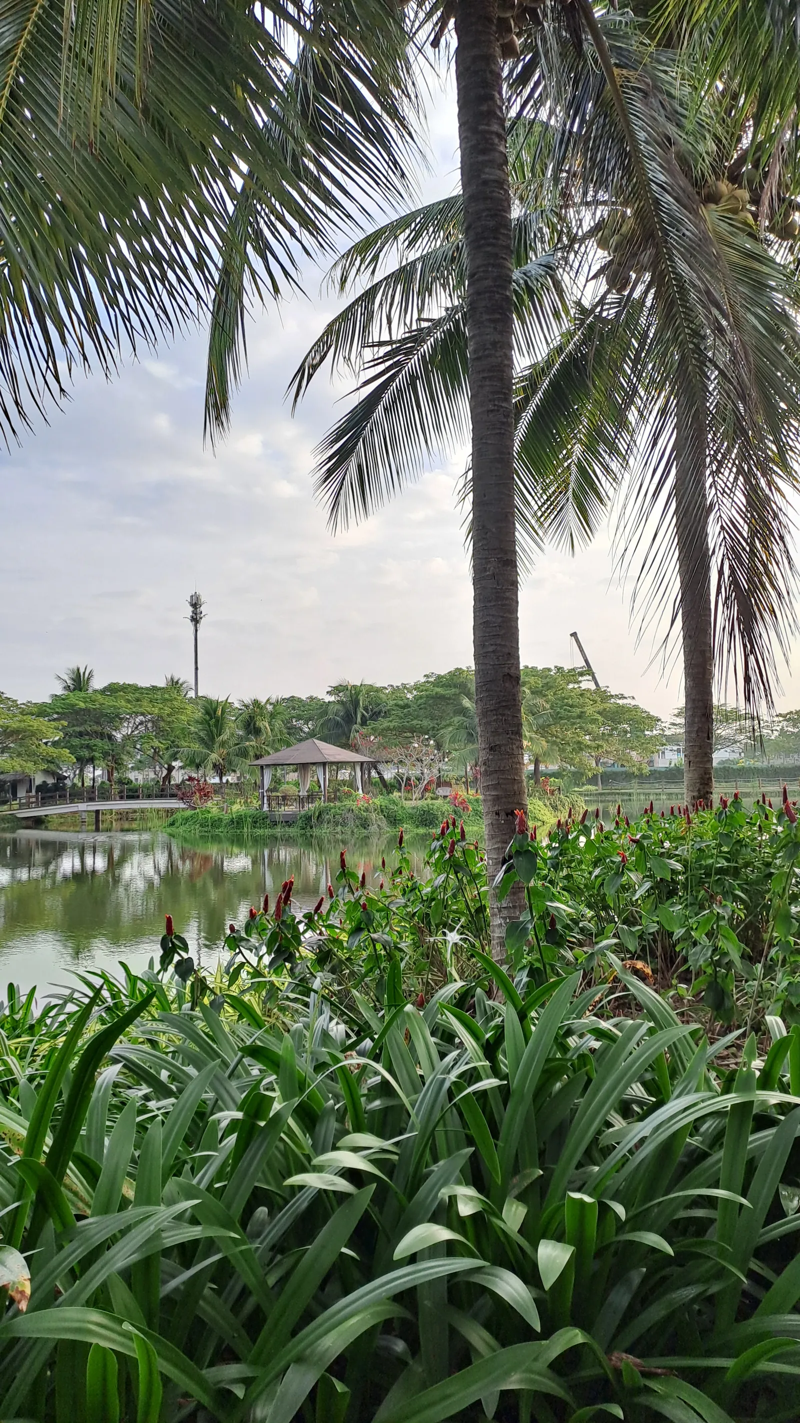
In July 2025 the chairman of the new commune told the newspaper Thanh Niên that 41 tourism projects have been approved on its territory: twelve already operating, eleven under construction, thirteen in legal review. A master plan approved in December 2024 covers just over 5,000 hectares and forecasts demand for between 10,500 and 15,000 hotel rooms by 2045. A new international airport at Long Thành is scheduled to begin commercial flights on 1 December 2026, which will put this coast within easy reach of everywhere.
The coast is already paying for it. The provincial newspaper ran a two-part investigation in August 2024 into sea encroachment along this shoreline: erosion cutting up to 200 metres inland at Bình Châu, dunes over ten metres high at Lộc An gone entirely, erosion rates accelerating from around two metres a year to around thirty over fifteen years, with sand mining named as a human cause alongside sea-level rise. In 2020 the sea reached the wall of the large casino resort up the road, which responded by building roughly 500 metres of hard seawall. A public coastal defence of 857 metres, with sixteen stepped access points down to the water, was under construction in 2025.
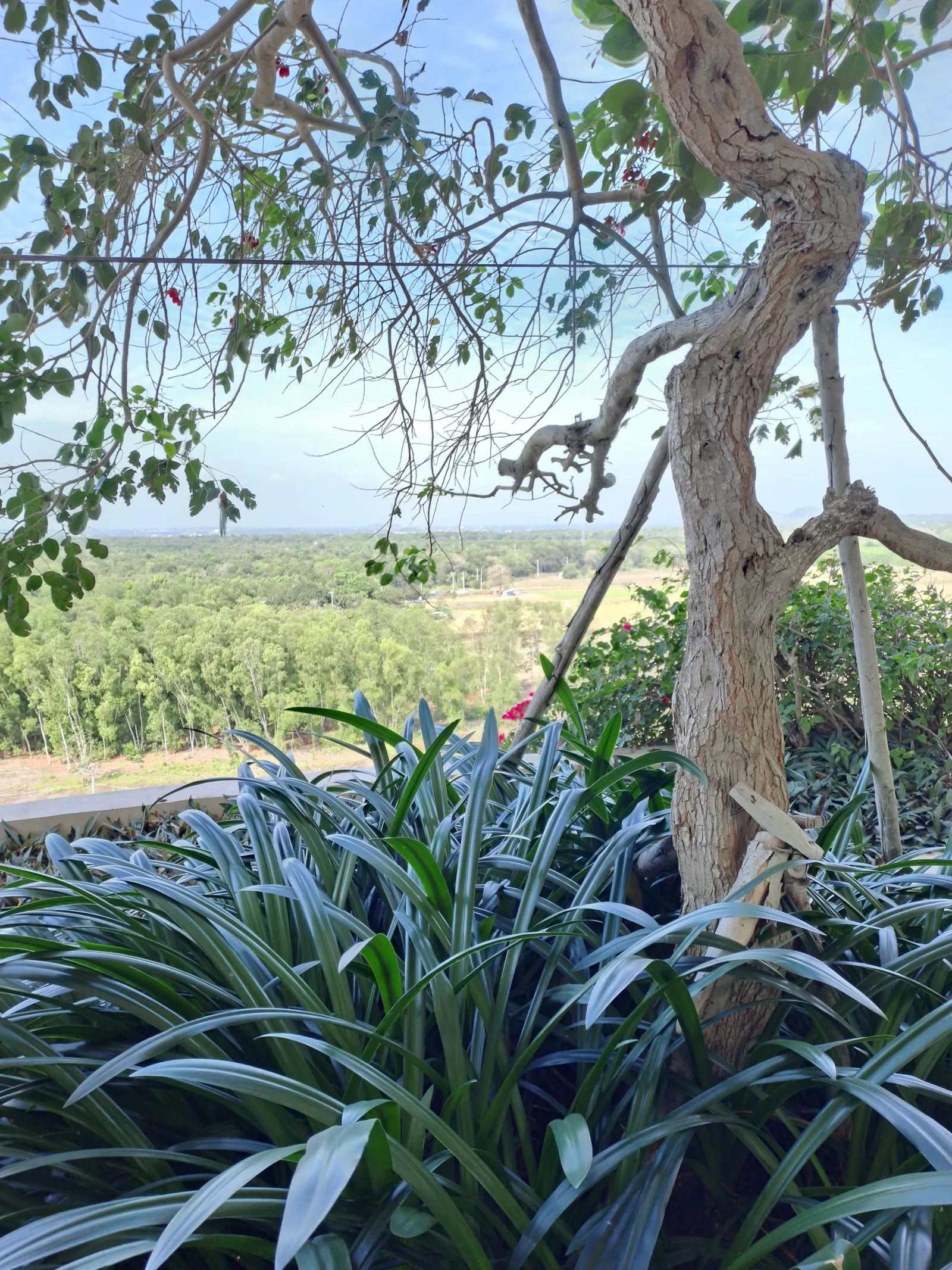
So this is a place being built at speed on ground that is moving. Both things are true and a reader planning a trip deserves both.
What we actually know
- Hồ Tràm has been administratively part of Ho Chi Minh City since 1 July 2025, following the merger of Bà Rịa–Vũng Tàu province.
- The fishing fleet works from basket boats. Blue swimming crab, ghẹ xanh, is the local specialty. The seafood market on the coastal road is busiest from about four to eight in the morning.
- Bình Châu–Phước Bửu nature reserve has been protected since the 1970s. Published areas range from 10,537 to 11,293 hectares depending on the source.
- 41 tourism projects have been approved on the commune’s territory. The December 2024 master plan covers just over 5,000 hectares to 2045. Source: Thanh Niên, July 2025.
- Coastal erosion on this shore is documented by the provincial press, including erosion reaching a major resort’s wall in 2020 and the 500-metre seawall built in response.
- Long Thành International Airport is targeted to open to commercial flights on 1 December 2026. This is a government target and it has moved before.
- Vietnamese authorities name this coast among the beaches where the north-east monsoon, December to March, generates dangerous rip currents.
There is no published bathing-water rating for this stretch of coast, and no month-by-month jellyfish data. Stingrays and jellyfish are both reported in this sea area. Ask locally rather than trusting a calendar.
How this story was made. Photographed on a phone, on foot, at first light. Nothing here is sponsored, nothing was provided free, and everything was found, booked and paid for at our own cost. Development and erosion figures come from Vietnamese state and provincial press, which is named in the text.
Independent and self-funded. Atlántis is not sponsored by design: not affiliated, not a paid placement, and nobody we write about knew in advance. Everything on this page was found, booked and paid for at our own cost. The views are our own, judged against the Atlántis values: sustainability, cultural immersion, eco travel, real experiences, family-friendliness, and car-free travel or the deep past, depending on the place.