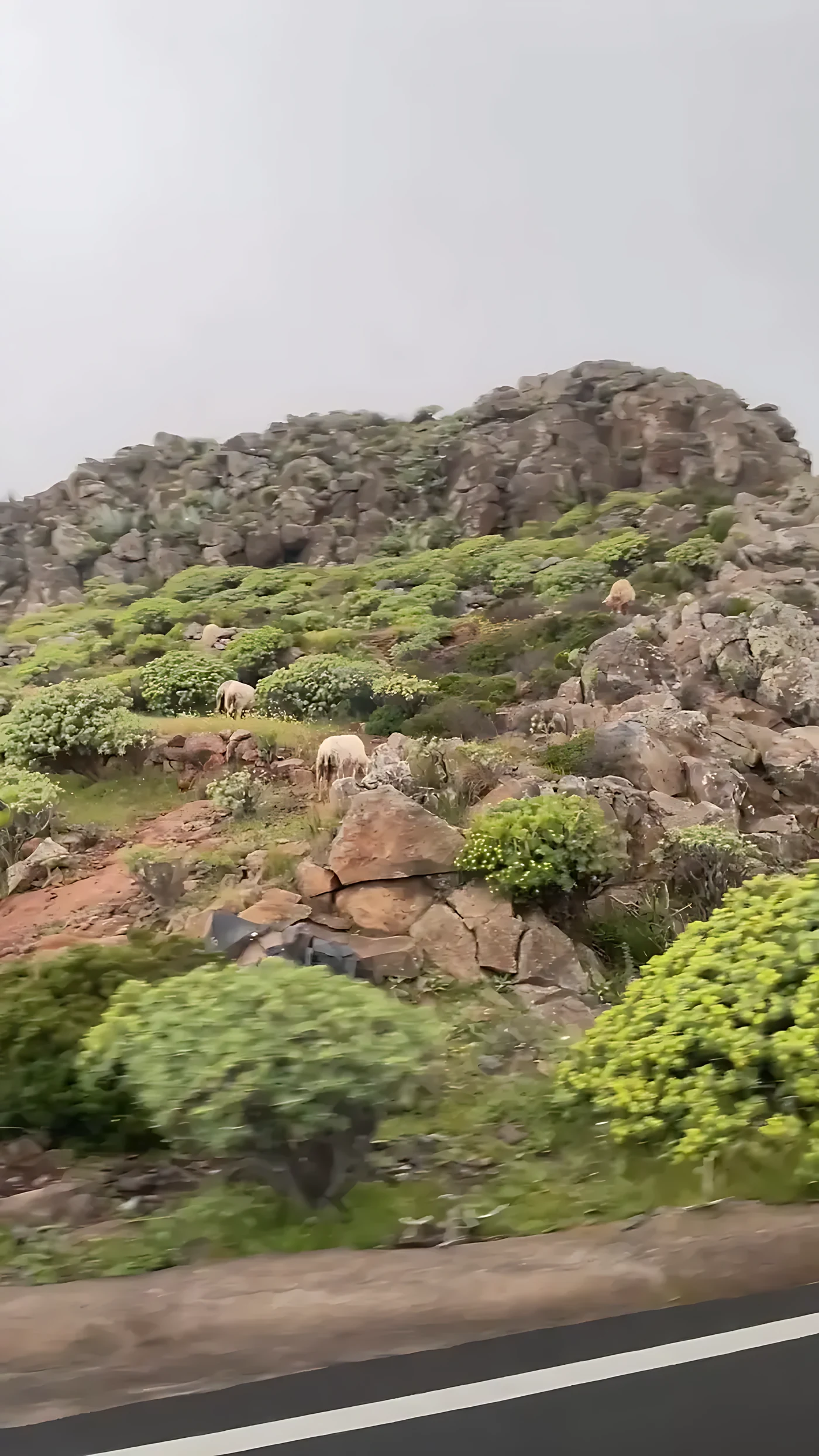
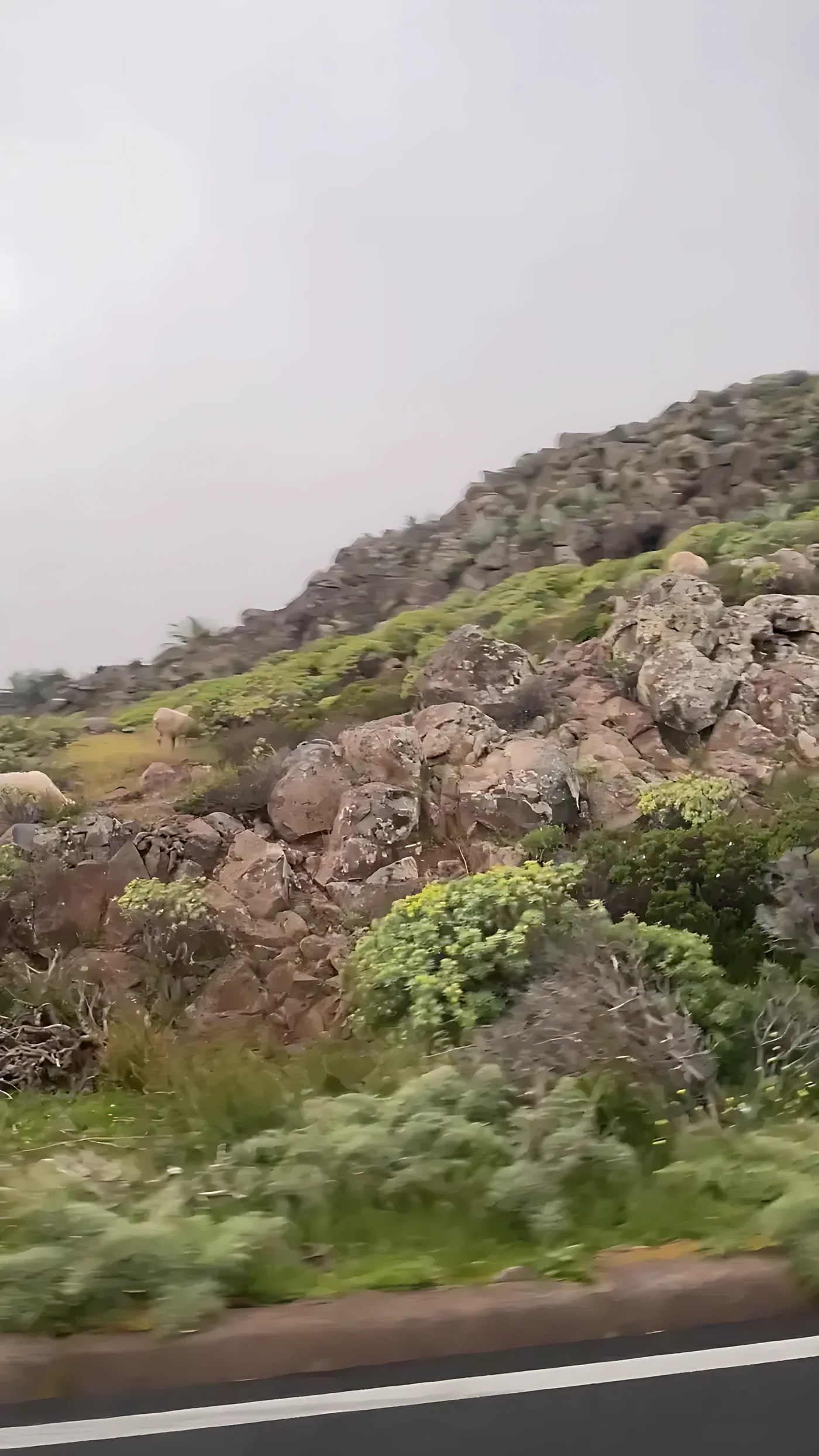
The cloud came down to meet the road. One minute the taxi was in sunshine with the sea behind it; the next, the sky had become a low grey lid and the hillside beside the window had turned red — the dark wine-red of old volcanic rock — and on it, among the boulders and the yellow-flowering scrub, sheep were grazing. Long-fleeced, unhurried, nobody in sight with them. They did not look up.
It is the kind of moment people call mystical, and we understand why. But the truer word is old. Everything in that frame, the red rock, the fog, the animals and even the way nobody was watching them, is something this island has been doing for a very long time.
An island that stopped
La Gomera is not a volcano. It is what is left of volcanoes. The oldest lava on dry land here is ten to eleven million years old, laid over a submarine base that is older still. The last building phase began about five million years ago and ended about two million years ago, and in the words of the island’s conservation planners, at that moment all internal activity ceased. It is the only island in the Canaries with no volcanic activity at all in the last two million years. Tenerife, across the strait, erupted in 1909. La Palma erupted in 2021. La Gomera simply stopped.
Nobody can fully tell you why. The favoured explanation for how the Canary Islands formed, a plume of heat rising under the ocean floor, struggles with it; the Institute of Geosciences in Madrid has said publicly that the model could not explain the absence of volcanism on La Gomera in the last two million years. The mystery here is not a spirit. It is a gap in the science, and a real one.
What has happened instead, for two million years, is weather. Rain and gravity have been taking the island apart, cutting the barrancos that divide it into separate worlds and carrying the rock down into the sea. The drama of this landscape was not made by fire. It was made by water, working patiently on what the fire left behind.
The needles
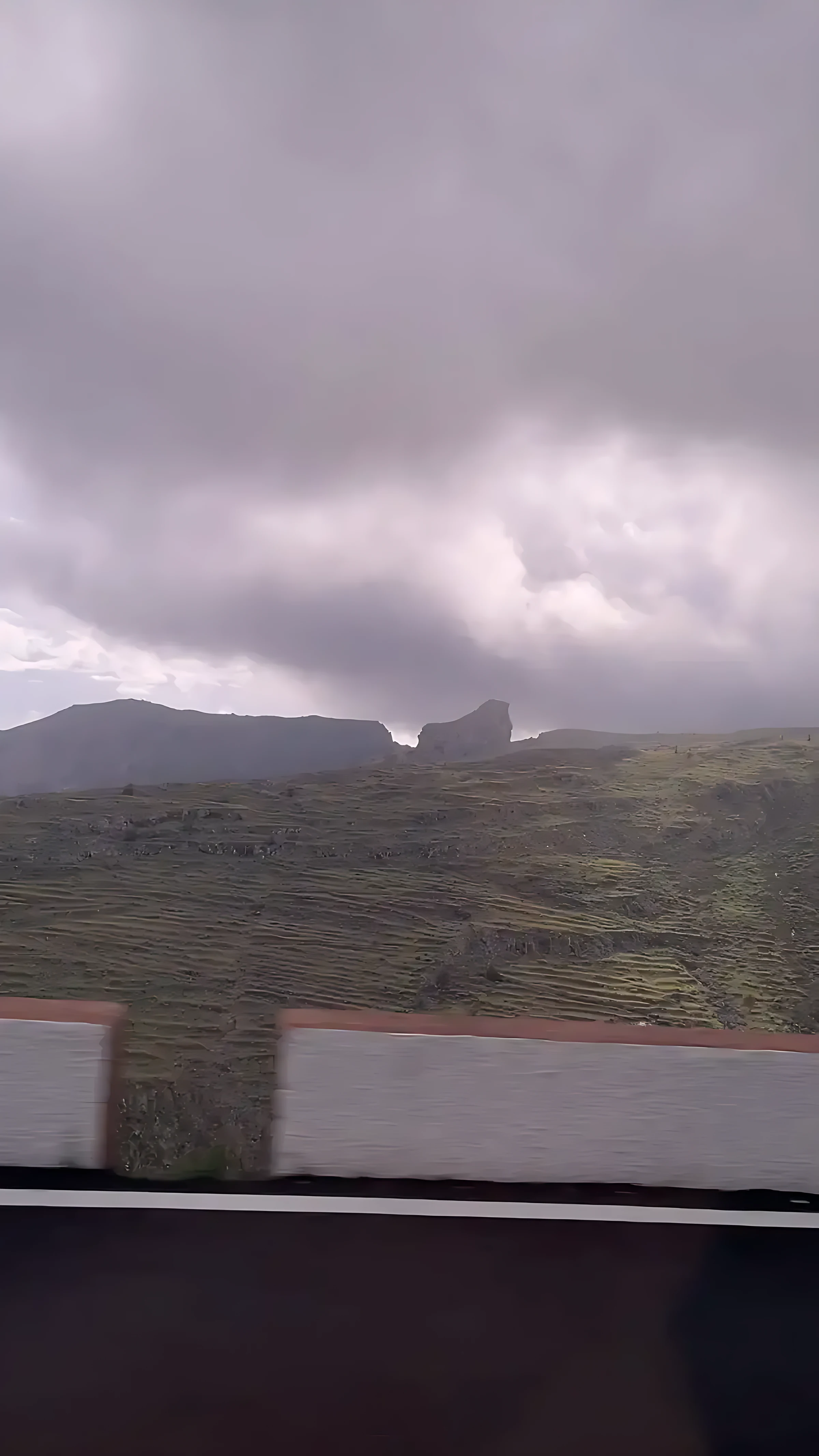
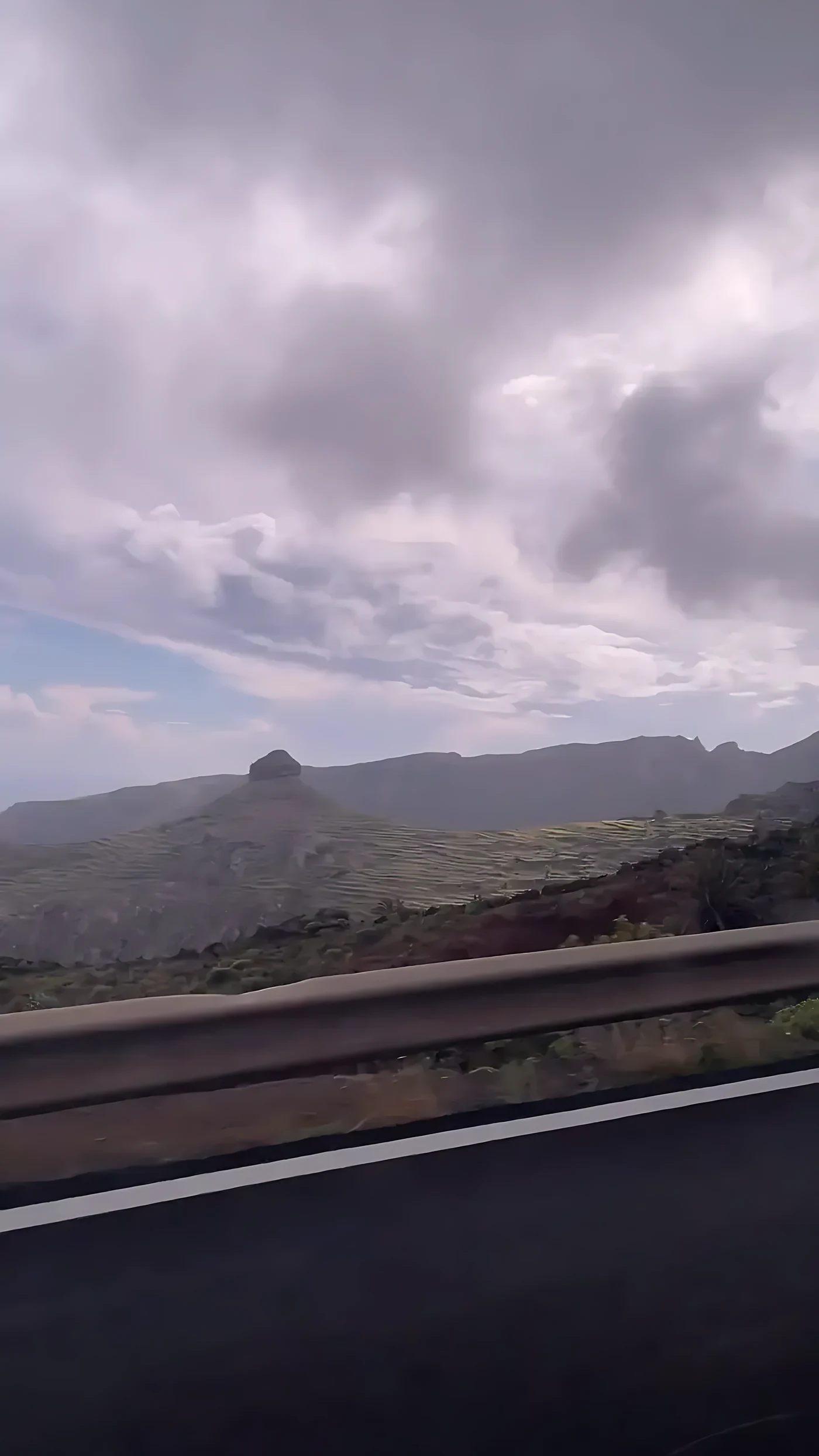
The strangest shapes on the island are the roques: towers of pale rock standing up out of the ridges as if something had pushed them through from underneath. Something did. The tourist version says they are old volcanic chimneys, lava that set in a volcano’s throat and was left standing when the cone wore away. The geologists who have studied them describe something different: needle domes of trachyte and phonolite, lava so thick it came up nearly solid and set where it rose, cracking as it grew.
The most famous is the Roque de Agando, about 1,250 metres high by most counts. It is the only one anyone has managed to date, at 4.28 million years. People worshipped on it. There were at least two altars on its summit, and in the 1980s they were badly damaged — dug up, according to the island’s own conservation plan, by a German association that described itself as doing research while filming for German television. The footage was sold as a documentary.
The altars are real. So is the market for mystery. The second has done real damage to the first.
The forest drinks the cloud
Above the road, inside that grey lid, is Garajonay. We did not go into the forest on this drive; from the taxi it was only cloud. But the cloud is the forest’s whole secret.
The trade winds push damp air against the island from the north-east. Warmer air above stops it rising, so it settles on the high ridges as fog, and the fog, moving through the trees, condenses on every leaf and drips to the ground. Scientists call it horizontal precipitation. At one study site in the park, measured over two years in the early 2000s by Axel Ritter, Carlos Regalado and colleagues, fog added between a fifth and nearly half as much water again as the rain. In July 2019 the summit gauges caught, on average, seventy-two litres a square metre from fog, against four from rain.
The part that matters most is this. Ángel Fernández, who directed the park, and the fog researcher Luis Gómez González measured the water reaching the ground under the trees. Under mature heather forest it was nearly one and a half times what fell in the open. Under degraded forest it was barely a third. A healthy forest makes water. A damaged one does not. That is not a metaphor about balance. It is a measurement, and it is why what happened in 2012 mattered so much.
You will read almost everywhere that this is a Tertiary forest, unchanged since the subtropical woods that covered southern Europe millions of years ago. The science is less tidy. A genetic study published in 2015 found that these forests were largely assembled more recently, from species arriving from elsewhere, rather than surviving intact from the deep past. Fernández himself put it carefully: the Canarian laurel forest is, in part, an exceptional refuge. In part. We would rather tell you that than the brochure.
August 2012
On 4 August 2012 a fire started that was not declared out until 30 October. It burned 3,617 hectares, nearly a tenth of the island, and 741 hectares inside the national park, almost a fifth of it. It had been set deliberately, after around thirty earlier attempts that summer. More than five thousand people left their homes, about a quarter of the island’s population, and more than nine hundred were taken out of Valle Gran Rey by boat overnight. Nobody died.
Fernández did not soften it afterwards. The losses are irreversible, he said, and there are species that have not sprouted again since the fire. His team found that the burned forest did not simply grow back as itself; seedlings were scarce, and the vegetation shifted towards more flammable scrub, a change they expect to last for decades. An EU-funded restoration project, LIFE+ Garajonay Vive, planted around sixty thousand native plants across 189 hectares between 2014 and 2018.
He has said one other thing, which belongs on a page about mystery more than anything else here: the only cause of fire on La Gomera is people, and people alone.
The altars on the summits
Long before any of this, people climbed to the high points of La Gomera to burn animals for their gods. On the summit of Garajonay itself, archaeologists have excavated sacrificial altars dating from the seventh to the twelfth centuries; only domestic animals were burned there, and the site is described as a sacred place for the island’s pre-Hispanic people. There are two altars on La Zarcita, with burned sheep and goat bone. There are about twenty-five on the Fortaleza de Chipude, the great flat-topped mountain in the south-west, a place of which the archaeologist Juan Francisco Navarro Mederos has said that no Gomero, and probably no Canarian, stays unmoved by it.
The practice did not end with the conquest. In 1774 a priest, José Fernández Prieto Salazar, wrote in a parish report that people went up the Fortaleza to perform exorcisms when there were plagues; that he had been up five or six times himself; and that on the flat top it served for kids and lambs. Juan Carlos Hernández, director of La Gomera’s archaeological museum, reads it as evidence that the Gomeros were still going up to burn animals there, nearly three hundred years after Castile took the island.
We thought of that line on the red slope, in the fog, with the sheep grazing and nobody watching them.
The love story that is not old
Every visitor to La Gomera is told the story of Gara and Jonay. Gara, a princess of Agulo; Jonay, a young man who swam over from Tenerife on inflated goatskins; families who forbade it; the lovers fleeing to the summit and dying together on a single stick of laurel sharpened at both ends; and the mountain named Garajonay after them.
It is a beautiful story, and it is not ancient. The earliest written version anyone has traced comes from the twentieth century: a piece by the Puerto de la Cruz chronicler Francisco Pedro Montes de Oca, writing as the Barón de Imobach, in the Gaceta de Tenerife in 1924, though the writer Juan Carlos Saavedra points instead to Juan Álvarez Delgado in 1943. The 1924 version is not even the same story: no princess of Agulo, no swimmer from Tenerife. Those details arrived later, from hands nobody has identified. Saavedra argues that the names Gara and Jonay were invented from the place name, rather than the place being named after them.
None of that makes it worthless. The philologist Maximiano Trapero, who collected spoken versions of it, still called it the most beautiful of legends, and noticed that the goatskin swim turns up in material gathered by a Tenerife doctor in the late nineteenth century. Trapero also wrote the sentence we would put over the door of any museum in the Canaries: the distance from history to legend is an abyss.
Where the island feeds you
If there is anything mystical in the interior of La Gomera, we think it lives in a kitchen in Las Hayas.
Efigenia Borges, born in Arure, began with a small shop selling sandals, rice, salt and paraffin, and a glass of wine with a plate of gofio and chopped cheese. It became Casa Efigenia, known across the Canaries for a watercress stew thickened with gofio and for having no meat or fish on the menu long before that was anybody’s idea of fashion. In May 2025 the Canarian government presented her with its gold medal. Her son, Sergio Méndez, runs it now.
Her rule was one sentence long. Here we don’t distinguish between anyone, she said, and if someone has no money to eat, we feed them anyway.
We did not eat there on this trip; we were in a taxi and the cloud was down. It is the first place we will go back for.
So that is the mystery of La Gomera, as far as we can honestly take it. An island that stopped erupting for reasons science cannot yet explain. A forest that makes its own rain, until people burn it. Altars on the summits that a priest was still writing about in 1774 and a television crew dug up in the 1980s. A love story younger than the island’s first roads. And a woman in a mountain village who fed people whether or not they could pay. The cloud is real. The rest is people. It always was.
What we actually know
- The oldest subaerial lava is ten to eleven million years old; the last volcanic phase ran from about five to about two million years ago, when “cesa toda actividad endógena”. Source: conservation plan for the Los Roques natural monument. The Canarian government’s CanariWiki gives about 2.35 million years and describes La Gomera as the only island in the archipelago with no Quaternary volcanism.
- The Institute of Geosciences (CSIC-UCM) stated around November 2021 that the hotspot model could not explain the absence of volcanism on La Gomera in the last two million years.
- The national geological inventory (IGME, site IC5019) describes the roques as needle domes of trachyte and phonolite and gives Agando a radiometric age of 4.28 million years, the only one dated. Agando’s height is given as 1,251 metres by the Ministry’s Caminos Naturales and as 1,182 metres by IGME.
- The damage to the Agando altars by a German association filming for German television in the 1980s, sold as the documentary “Guanches en la isla de los Dragos”, is recorded in the Los Roques conservation plan. The two altars on La Zarcita are recorded in the same plan.
- Garajonay became a national park on 25 March 1981 and a UNESCO World Heritage Site in 1986. The property covers 3,984 hectares.
- Fog added 342 mm (2003–04) and 303 mm (2004–05) at one study site, equal to 20–45 per cent of normal rainfall: Ritter, Regalado, Aschan and Gómez, 2005. July 2019 summit gauges averaged 72 l/m² of fog water against 4 l/m² of rain: park monitoring reported by Gomeranoticias, August 2019. Throughfall of 148 per cent of open-field rain under mature heather forest and 37 per cent under degraded forest: Fernández, Gómez González and Gómez.
- Kondraskov and colleagues, PLOS ONE, 2015, concluded that these forests were largely newly assembled rather than surviving as relicts. Ángel Fernández: “La laurisilva canaria es, en parte, un excepcional refugio” and “el único causante de los incendios en La Gomera es exclusivamente el ser humano”. Source: Ambienta, June 2021.
- The 2012 fire: 4 August to 30 October; 3,617 hectares in total and 741 in the park, 9.8 per cent of the island and 18.6 per cent of the park; deliberately set; more than 5,000 people evacuated; no deaths. “Las pérdidas son irreversibles” and “hay especies que después del incendio no han vuelto a brotar”: Fernández to EFE, 29 November 2019. LIFE+ Garajonay Vive: 2014–2018, 189 hectares treated, about 60,000 native plants.
- Altars on the Garajonay summit are dated to the seventh to twelfth centuries AD: Alberto Barroso, Navarro Mederos and Castellano Alonso, Zephyrus, 2015. The 1774 document by José Fernández Prieto Salazar and the quotation from Navarro Mederos are from eldiario.es, Luis Socorro, 9 November 2024, citing Juan Carlos Hernández of the Museo Arqueológico de La Gomera.
- Gara and Jonay: Montes de Oca, Gaceta de Tenerife, 15 July 1924, as cited by Spanish Wikipedia; Álvarez Delgado, 1943, as cited by Juan Carlos Saavedra, 2022 and 2025. Trapero, “Lo que dista desde la historia hasta la leyenda es un abismo”, 1992.
- Efigenia Borges received the Medalla de Oro de Canarias on 30 May 2025. “Aquí no distinguimos a nadie y si alguien no tiene dinero para comer, le damos igualmente”: Directo al Paladar, 5 November 2021.
We have not named the rock outcrops in our photographs, because we cannot say for certain which they are. We do not know whose sheep those were. And nobody has established who added the princess of Agulo and the swimmer from Tenerife to the legend.
How this story was made. Photographed and filmed through the window of a taxi crossing the island, at our own cost; nothing here is sponsored. No person appears in any photograph or clip, and the videos have had their audio removed entirely. We did not walk into Garajonay on this trip and we did not eat at Casa Efigenia; where we write about them, we are writing from the sources named, not from the day. Where the science is open, or the tourist version and the geologists disagree, we have said so.
Independent and self-funded. Atlántis is not sponsored by design: not affiliated, not a paid placement, and nobody we write about knew in advance. Everything on this page was found, booked and paid for at our own cost. The views are our own, judged against the Atlántis values: sustainability, cultural immersion, eco travel, real experiences, family-friendliness, and car-free travel or the deep past, depending on the place.